
Fichier:South Asia (orthographic projection) without national boundaries.svg

Taille de cet aperçu PNG pour ce fichier SVG : 550 × 550 pixels. Autres résolutions : 240 × 240 pixels | 480 × 480 pixels | 768 × 768 pixels | 1 024 × 1 024 pixels | 2 048 × 2 048 pixels.
Fichier d’origine (Fichier SVG, nominalement de 550 × 550 pixels, taille : 2,8 Mio)
Ce fichier et sa description proviennent de Wikimedia Commons.
Description
| Description |
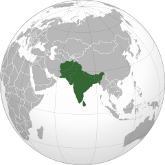
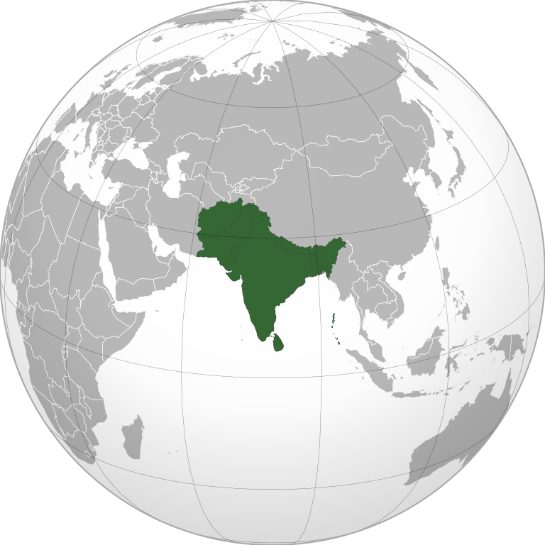
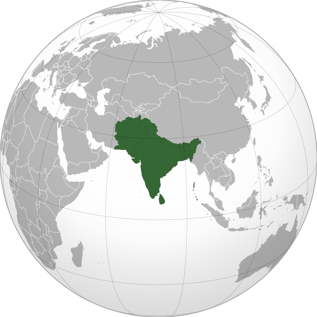
English: South Asia |
||
| Date | (UTC) | ||
| Source | |||
| Auteur | user:Serg!o | ||
| Autres versions |
.svg) |
||
| SVG information |
|
.svg)
.svg)
.svg)
.svg)
.svg)
.svg)
.svg)
.svg)
.svg)
.svg)
.svg)
.svg)
.svg)
.svg)
.svg)
.svg)
.svg)
.svg)
.svg)
.svg)
.svg)
.svg)
.svg)
.svg)
.svg)
.svg)
.svg)
.svg)
.svg)
.svg)
.svg)
.svg)
.svg)
.svg)
.svg)
.svg)
.svg)
.svg)
.svg)
.svg)
.svg)
.svg)
.svg)
.svg)
.svg)
.svg)
.svg)
.svg)
.svg)
.svg)
.svg)
.svg)
.svg)
.svg)
.svg)
.svg)
.svg)
.svg)
.svg)
.svg)
.svg)
.svg)
.svg)
.svg)
.svg)
.svg)
.svg)
.svg)
.svg)
.svg)
.svg)
.svg)
.svg)

.svg)

.svg)

.svg)
.svg)
.svg)
.svg)
.svg)
.svg)
.svg)


.svg)
.svg)
.svg)
.svg)
.svg)
.svg)
.svg)

.svg)
.svg)
.svg)
.svg)
.svg)
.svg)
.svg)
.svg)
.svg)
.svg)

.svg)
.svg)
.svg)
.svg)
.svg)
.svg)
.svg)
_without_national_boundaries.svg)
.svg)
.svg)
.svg)
.svg)
.svg)
.svg)

.svg)
.svg)
.png)
.svg)
.svg)
.svg)
.svg)

.svg)
.svg)
.svg)
.svg)
.svg)
.svg)
.svg)
.svg)
.svg)
.svg)
.svg)

.svg)
.svg)
.svg)
.svg)
.svg)
.svg)
.svg)
.svg)
.svg)

.svg)
.svg)

.svg)
.svg)
.svg)
.svg)
.svg)
.svg)
.svg)
.svg)
.svg)
.svg)
.svg)
.svg)
.svg)
.svg)
.svg)
.svg)
.svg)
.svg)
.svg)
.svg)
.svg)
.svg)
.svg)
.svg)
.svg)
.svg)
.svg)
_-_Crimea_disputed.svg)
.svg)
.svg)
.svg)
.svg)
.svg)
.svg)
.svg)
.svg)
.svg)
.svg)
.svg)
_political.svg)
.svg)
.svg)
.svg)
.svg)
_-_Crimea_disputed_-_no_borders.svg)
.svg)
.svg)
.svg)
.svg)
.svg)
.svg)
.svg)
.svg)
.svg)
.svg)
.svg)

.svg)
.svg)
.svg)

.png)
.svg)
.svg)
.svg)
.svg)
.svg)
.svg)
.svg)
.svg)
.svg)
.svg)
.svg)
.svg)
.svg)
.svg)
.svg)
.svg)
.svg)
.svg)
.svg)
.svg)
.svg)
.svg)
.svg)
.svg)
.svg)
.svg)
.svg)
.svg)
.svg)
.svg)
.svg)
.svg)
.svg)
.svg)
.png)
.svg)
.svg)
.svg)
_(orthographic_projection).png)
_without_national_boundaries.svg?uselang=fr)
Conditions d’utilisation
Moi, en tant que détenteur des droits d’auteur sur cette œuvre, je la publie sous les licences suivantes :
Ce fichier est disponible selon les termes de la licence Creative Commons Attribution – Partage dans les Mêmes Conditions 3.0 (non transposée).
- Vous êtes libre :
- de partager – de copier, distribuer et transmettre cette œuvre
- d’adapter – de modifier cette œuvre
- Sous les conditions suivantes :
- paternité – Vous devez donner les informations appropriées concernant l'auteur, fournir un lien vers la licence et indiquer si des modifications ont été faites. Vous pouvez faire cela par tout moyen raisonnable, mais en aucune façon suggérant que l’auteur vous soutient ou approuve l’utilisation que vous en faites.
- partage à l’identique – Si vous modifiez, transformez, ou vous basez sur cette œuvre, vous devez distribuer votre contribution sous la même licence ou une licence compatible avec celle de l’original.

|
Vous avez la permission de copier, distribuer et modifier ce document selon les termes de la GNU Free Documentation License version 1.2 ou toute version ultérieure publiée par la Free Software Foundation, sans sections inaltérables, sans texte de première page de couverture et sans texte de dernière page de couverture. Un exemplaire de la licence est inclus dans la section intitulée GNU Free Documentation License. |
|
|
Vous avez la permission de copier, distribuer et modifier ce document selon les termes de la GNU Free Documentation License version 1.2 ou toute version ultérieure publiée par la Free Software Foundation, sans sections inaltérables, sans texte de première page de couverture et sans texte de dernière page de couverture. Un exemplaire de la licence est inclus dans la section intitulée GNU Free Documentation License. |
Vous pouvez choisir l’une de ces licences.
Cette carte a été créée avec le Generic Mapping Tools : https://www.generic-mapping-tools.org/ utilisant pour le relief un ou plusieurs de ces jeux de données du domaine public :
|
|
|
Vous avez la permission de copier, distribuer et modifier ce document selon les termes de la GNU Free Documentation License version 1.2 ou toute version ultérieure publiée par la Free Software Foundation, sans sections inaltérables, sans texte de première page de couverture et sans texte de dernière page de couverture. Un exemplaire de la licence est inclus dans la section intitulée GNU Free Documentation License. |
Historique du fichier
Cliquer sur une date et heure pour voir le fichier tel qu'il était à ce moment-là.
| Date et heure | Vignette | Dimensions | Utilisateur | Commentaire | |
|---|---|---|---|---|---|
| actuel | 12 novembre 2022 à 08:10 | | 550 × 550 (2,8 Mio) | Sourav Bapuli | Added Siachen Glacier as requested by {{u|King Prithviraj II}} |
| 1 janvier 2021 à 19:56 |  | 553 × 553 (216 kio) | Sbb1413 | Converted to Plain SVG. | |
| 1 janvier 2021 à 19:52 |  | 553 × 553 (216 kio) | Sbb1413 | The previous attempt failed, another attempt of correcting the errors. | |
| 1 janvier 2021 à 19:48 |  | 553 × 553 (179 kio) | Sbb1413 | Corrected W3C error. | |
| 24 août 2020 à 18:23 |  | 553 × 553 (284 kio) | Prosfilaes | Reverted to version as of 01:09, 24 August 2020 (UTC); consistency with historical use of this file. Upload distinct new versions to a new name | |
| 24 août 2020 à 14:12 |  | 744 × 1 052 (540 kio) | Xerxes1985 | Reverted to version as of 19:21, 22 August 2020 (UTC) It isn’t meant to be the important feature, it’s portrayed in a lighter colour due to its position as a link between south and Central Asia, or do you think Afghanistan has the same position in South Asia as Bangladesh, Pakistan or India ? | |
| 24 août 2020 à 03:09 |  | 553 × 553 (284 kio) | Aditya Kabir | Reverted to version as of 20:10, 21 August 2020 (UTC) The South Asian map doesn't need Afghanistan as the most important feature | |
| 22 août 2020 à 21:21 |  | 744 × 1 052 (540 kio) | Xerxes1985 | Reverted to version as of 20:10, 19 August 2020 (UTC) Thats why it’s still in the map and not completely removed | |
| 21 août 2020 à 22:10 |  | 553 × 553 (284 kio) | PersianV | Reverted to version as of 18:07, 11 May 2017 (UTC) Reverted, technically considered South Asian | |
| 19 août 2020 à 22:10 |  | 744 × 1 052 (540 kio) | Xerxes1985 | Afghanistan in a lighter colour | |
| 11 mai 2017 à 20:07 |  | 553 × 553 (284 kio) | LouisAragon | Rv, utter nonsensensical change. 1 UN subdepartment amounts for nothing. | |
| 11 mai 2017 à 16:20 |  | 590 × 590 (329 kio) | Jcfidy | Add Iran [http://data.un.org/CountryProfile.aspx?crName=Iran%20%28Islamic%20Republic%20of%29 referencie]. Añadido Irán | |
| 18 août 2016 à 01:46 |  | 553 × 553 (284 kio) | फ़िलप्रो | Maldives coloured | |
| 18 août 2016 à 01:41 |  | 553 × 553 (284 kio) | फ़िलप्रो | fix shade | |
| 18 août 2016 à 01:32 |  | 553 × 553 (284 kio) | फ़िलप्रो | Coloured Siachen glacier | |
| 19 mars 2015 à 22:51 |  | 553 × 553 (307 kio) | Flappiefh | Added South Sudan. | |
| 12 mars 2015 à 17:56 |  | 541 × 541 (834 kio) | Mattbuck | Per en:Western Asia, Iran is included. Reverting and protecting until issues resolved. | |
| 12 mars 2015 à 07:54 |  | 541 × 541 (498 kio) | Leftcry | Reverted to version as of 01:48, 12 March 2015 Read COM:NPOV, also refer to my talk page as I have provided sources and an explanation. | |
| 12 mars 2015 à 06:08 |  | 541 × 541 (834 kio) | Orangesaft | The officially released map(s) by the UN don't include Iran in South Asia, but do include it in West Asia. (www.un.org/Depts/Cartographic/map/profile/Southeast-Asia.pdf) ! | |
| 12 mars 2015 à 03:48 |  | 541 × 541 (498 kio) | Leftcry | Upload a different map, leave this one alone. | |
| 12 mars 2015 à 00:12 |  | 541 × 541 (834 kio) | Orangesaft | alright, different uploader now (name is South Asia orthographic, not South Asia by the UN department) | |
| 11 mars 2015 à 23:17 |  | 541 × 541 (498 kio) | Leftcry | The UN clasifies it as South Asia, and that is what the uplaoder originally based it upon. If you want to upload a different map without Iran then you are free to do so, however don't change this user's uploaded map. | |
| 11 mars 2015 à 18:48 |  | 541 × 541 (834 kio) | Orangesaft | It's globally accepted to be part of West Asia geographically | |
| 11 mars 2015 à 06:51 |  | 541 × 541 (498 kio) | Leftcry | Reverted to version as of 14:39, 11 October 2009 Revert to original upload, Iran is designated as a South Asian country by the United Nations and is very appropriate for the article | |
| 23 décembre 2013 à 11:52 |  | 541 × 541 (834 kio) | Matthiasb | Reverted to version as of 10:27, 20 May 2013 | |
| 23 décembre 2013 à 11:41 |  | 541 × 541 (834 kio) | Matthiasb | Don't revert, Serg!o, if you appearantly are not having a clue. It's widely accepted that Iran is part of West Asia, not South Asia! | |
| 22 mai 2013 à 12:49 |  | 541 × 541 (498 kio) | Serg!o | {{Information |Description={{en|1=South Asia}} |Source=*India_(orthographic_projection).svg |Date=2009-10-11 14:38 (UTC) |Author=user:Serg!o |Permission= |other_versions={{Grey-green ort... | |
| 20 mai 2013 à 12:27 |  | 541 × 541 (834 kio) | SirPSchwegen | Reverted to version as of 20:32, 11 March 2013 | |
| 21 mars 2013 à 17:19 |  | 541 × 541 (498 kio) | Serg!o | {{Information |Description={{en|1=South Asia}} |Source=*India_(orthographic_projection).svg |Date=2009-10-11 14:38 (UTC) |Author=user:Serg!o |Permission= |other_versions={{Grey-green ort... | |
| 11 mars 2013 à 22:32 |  | 541 × 541 (834 kio) | Matthiasb | Iran is geographically not part of South Asia (maybe per Un statistics, but that's not what this map is made for) | |
| 4 février 2010 à 14:13 |  | 541 × 541 (498 kio) | Serg!o | {{Information |Description={{en|1=South Asia}} {{es|1=Asia del Sur}} |Source=*India_(orthographic_projection).svg *http://millenniumindicators.un.org/unsd/methods/m49/m49regnf.htm |Date=2009-10-11 14:38 (UTC) | |
| 30 janvier 2010 à 13:56 |  | 541 × 541 (834 kio) | Huaiwei | Iran is on Southwest Asia. | |
| 11 octobre 2009 à 16:39 |  | 541 × 541 (498 kio) | Serg!o | {{Information |Description={{en|1=South Asia}} |Source=*File:India_(orthographic_projection).svg |Date=2009-10-11 14:38 (UTC) |Author=es:user:Serg!o |Permission=see below |other_versions= }} {{RetouchedPicture||editor=Serg!o|orig=India_(ortho |
.svg)
Utilisation du fichier
Les 3 pages suivantes utilisent ce fichier :
Usage global du fichier
Les autres wikis suivants utilisent ce fichier :
- Utilisation sur af.wikipedia.org
- Utilisation sur am.wikipedia.org
- Utilisation sur ar.wikipedia.org
- Utilisation sur arz.wikipedia.org
- Utilisation sur ast.wikipedia.org
- Utilisation sur azb.wikipedia.org
- Utilisation sur az.wikipedia.org
- Utilisation sur ban.wikipedia.org
- Utilisation sur ba.wikipedia.org
- Utilisation sur bcl.wikipedia.org
- Utilisation sur be-tarask.wikipedia.org
- Utilisation sur be.wikipedia.org
- Utilisation sur bg.wikipedia.org
- Utilisation sur bh.wikipedia.org
- Utilisation sur bjn.wikipedia.org
- Utilisation sur bn.wikipedia.org
- বাংলাদেশ
- ভারত
- পাকিস্তান
- নেপাল
- মালদ্বীপ
- আফগানিস্তান
- ভুটান
- দক্ষিণ এশীয় আঞ্চলিক সহযোগিতা সংস্থা
- দক্ষিণ এশিয়া
- শ্রীলঙ্কা
- টেমপ্লেট:দক্ষিণ এশিয়ার দেশসমূহ
- ভারতের রাজনীতি
- ভারতের সংস্কৃতি
- আলাপ:নিয়াজ মোরশেদ
- আলাপ:শ্রীলঙ্কা
- ব্যবহারকারী:Jayantanth/Sandbox
- ২০১২ সাফ মহিলা চ্যাম্পিয়নশিপ
- মালদ্বীপের বৈদেশিক সম্পর্ক
- প্রবেশদ্বার:শ্রীলঙ্কা
- প্রবেশদ্বার:পাকিস্তান
- প্রবেশদ্বার:নেপাল
- প্রবেশদ্বার:পাকিস্তান/প্রবেশদ্বারসমূহ
Voir davantage sur l’utilisation globale de ce fichier.
_without_national_boundaries.svg)
_without_national_boundaries.svg)