
Fichier:France Germany Locator (World).svg

Taille de cet aperçu PNG pour ce fichier SVG : 800 × 353 pixels. Autres résolutions : 320 × 141 pixels | 640 × 283 pixels | 1 024 × 452 pixels | 1 280 × 565 pixels | 2 560 × 1 130 pixels | 940 × 415 pixels.
Fichier d’origine (Fichier SVG, nominalement de 940 × 415 pixels, taille : 1,46 Mio)
Ce fichier et sa description proviennent de Wikimedia Commons.
.svg?uselang=fr)
| Description |
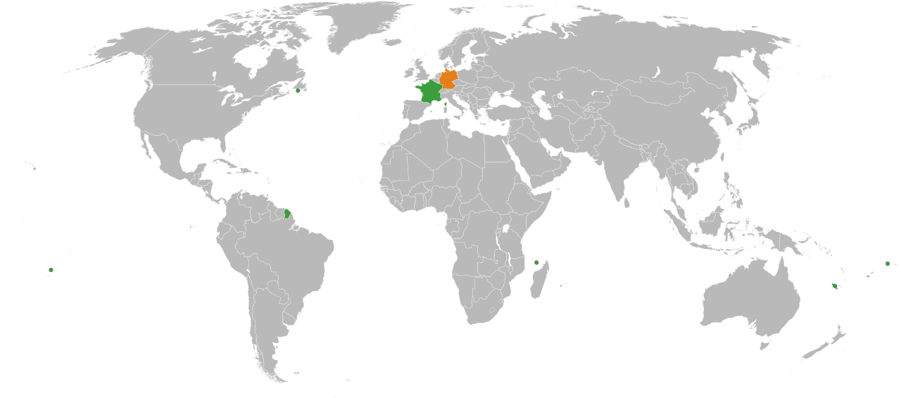
English: A map of the location of France and Germany, including the French territories.
Germany
France |
| Date | |
| Source |
|
| Auteur | Lokal_Profil |
| Autorisation (Réutilisation de ce fichier) |
Ce fichier est disponible selon les termes de la licence Creative Commons Attribution – Partage dans les Mêmes Conditions 2.5 Générique
|
| Autres versions | In Europe: File:France Germany Locator (Europe).svg |
.svg)
Historique du fichier
Cliquer sur une date et heure pour voir le fichier tel qu'il était à ce moment-là.
| Date et heure | Vignette | Dimensions | Utilisateur | Commentaire | |
|---|---|---|---|---|---|
| actuel | 11 mars 2018 à 00:39 | | 940 × 415 (1,46 Mio) | BegbertBiggs | Reverted to version as of 20:10, 14 December 2007 (UTC) |
| 11 mars 2018 à 00:38 |  | 593 × 606 (703 kio) | BegbertBiggs | Changed to map of Europe for better visibility. | |
| 14 décembre 2007 à 22:10 |  | 940 × 415 (1,46 Mio) | Lokal Profil | Added the Overseas collectivities of France | |
| 14 décembre 2007 à 22:01 |  | 940 × 415 (1,46 Mio) | Lokal Profil | {{Information |Description={{en|A map of the location of France and Germany, including the French territories.}} {{legend|#e3801c|Germany}} {{legend|#3c9d3c|France}} |Source=*Vector map from [[:Image:BlankMap-World6, compact.svg|BlankMap-World6, compact.s |
Utilisation du fichier
Les 3 pages suivantes utilisent ce fichier :
.svg)